Tuesday, September 1, 2015

Redwoods National and State Parks


After the Oregon Coast, we continued on last week into northern California and the Redwoods National and State Parks. So, a bunch of trees pictures here. BIG trees. 

I haven't been to the Redwoods in many years. They are sort of out of the way--you either have to be taking the slow trip down the coast on the South 101, or head there with intent. In this case, the plan was for some August camping under some of the tallest trees in the world.

The Redwoods area is an interesting mix of conservation and preservation areas. There are the Redwoods National Parks, which are split up into several areas over a 100+ mile stretch.  There are national recreation areas. And then there is a system of California State Parks, such as Jedediah Smith State Park, Del Norte State Park, and Prairie Creek Woods State Park.  

Long ago, as a kid, I watched a film about Jedediah Smith. I was fascinated by the explorers.  Jedediah was a special one, even amongst the greats. Interestingly, he may never have actually traveled through the state park in his name. 

We were fortunate to find a camp site for a couple nights in the Mill Creek Campground, just south of Crescent City in the Del Norte State Park. This made for a great home base. Redwoods NP tip:  reservations are a good idea in August, but if you don't have them, campgrounds in the northern parks are more likely to have sites than those in the south.  Curiously, we were able to have a campsite fire, despite the fire troubles which prevailed throughout Oregon and Washington. We really enjoyed a campground program at Mill Creek, where we learned much about the redwoods.  The parks themselves are seeing double digit increases in visitors. I want to return to do the Coastal Trail, or part of it, sometime.

I got a short trail run in the first night, out to the Boy Scout Tree. Easy-peasy. The rangers said this tree would be the biggest in the world--in circumference I think--but for the fact that it was originally two trees. The trail itself--about 6 miles roundtrip--was quiet, like holy ground, with every turn showing another grove of huge trees.  There's a picture below of the Boy Scout Tree--pictures of redwoods need people or something to see the scale--but its a big one, for sure. The drive to the trailhead on the Howland Hills Road--a dirt road through redwoods--was incredible. Often, like driving under a herd of elephants' legs.

The next day we drove south to Prairie Creek State Park. We took the Newton B. Drury Scenic Parkway, and saw more of redwoods, including the Corkscrew Tree. We then went on the Big Tree Loop hike, which included the Cathedral Trail. 

Our southernmost point was Orick, where we bought a nice big salad bowl, made of redwood. It's a really nice piece of work. Good weather, no smoke, good times. 

On the day of departure from Mill Creek, I spent an hour wading in the surf of the Crescent City beach. Found four sand dollars. From there, we took the Hwy 199 along the Smith River to Grant's Pass and then Ashland. The Smith River pass drive is gorgeous, but the river is way down, and the smoke was everywhere. Last picture below. Thank you firefighters.

One final night in Ashland, where we attended the Oregon Shakespeare Festival, seeing the U.S. premiere of the a very popular Chinese play. I've always wanted to check out this Festival, and the play was terrific.

Here comes September!


Sunday, August 30, 2015

The Oregon Coast


Last week we did a road trip down Highway 101 on the Oregon Coast, all the way to the Redwoods National and State Parks in Northern California.

The Oregon Coast drive is a classic American highway, with views of the wild Pacific, coastal towns, and unending vistas. Much of Washington State and Oregon were sadly experiencing severe forest fires, but we fortunately escaped much of the smoke. The Oregon Coastline is marked by plenty of haystacks and rugged beaches.

Our first night we spent in Lincoln City with friends. Surfers were making the most of the surf, and there was plenty of sand. Cold water though. From there, it was Newport, with its sea lions, the Rogue brewery, gift shops and a slow afternoon. I tried out a few different clam chowders, all touted as the best of just about anywhere.  We ended up in Steve Prefontaine's hometown, Coos Bay, before heading to California the next day.


Sunday, August 9, 2015

Skagit Wildlife Area


My favorite short hike near home these days seems to be the Skagit Wildlife Area on Fir Island. The dike trail is quiet, and every month provides a different look.  Birds migrate in the winter.  Now, in the summer, the water level is low, but the grasses are high.

Yesterday I was looking for salmon.  This is an estuary area, where salt water meets the fresh water of the Skagit. The cattails are high. The blackberries are abundant, and small birds are flitting everywhere. The area is a designated part of the Great Washington State Birding Trail-Cascade Loop.

My sighting of the day was a Belted Kingfisher. Kingfishers are not a bird I think of much, but I remember them from back east in the Chesapeake Bay area. When I spotted it, at first I thought it was a woodpecker, but the differences are apparent, and I got a good view.

I saw a number of herons, some fishing, like the one in the above photo. Their flight is remarkable--long legs, big wings, but a lanky bird as compared to raptors. I looked for owls--I know they are there, but no go yesterday.


Sunday, August 2, 2015

Easy Pass to Thunder Creek


I hiked and jogged my way from Easy Pass to Thunder Creek in the North Cascades National Park on Saturday.  This was my fifth time completing this route, which is a personal favorite.  This year I was inspired to take this on by friends Ras and Kathy, who made this part of the UltraPedestrian Wilderness Challenge. I actually first met Ras when we took this on together some years back.

This is a point to point route, which requires something of a plan. Others who have been doing this have biked up Highway 20 to pick up their vehicle.  I was fortunate enough to connect with John, Chris, and Arya, who also were taking on this challenge on Saturday. We met at 4:00 AM at Colonial Creek, even before the birds chirp, and took Chris's rig up to Easy Pass. Chris was the superstar on the day, deciding to take on the route from Colonial Creek to Easy Pass, which is mostly uphill. This choice meant that we didn't have to shuttle the cars back at the end of the day. 

The route:  basically, three miles up to the top of Easy Pass, approximately 6500 feet. Then, down into the Fisher Basin, through one of the most beautiful subalpine valleys you'll ever find, with views of glaciers in the distance. A wild place, where wolves and wolverines wander. Fisher Creek reminds me of high Yellowstone creeks. The trail then descends into old growth forest, paralleling the creek, mostly descending. At Junction, you bend up into the Thunder Creek valley, for about ten miles until the Colonial Creek campground. The full route is about 24 miles.

I don't move fast these days, due to various infirmities and lack of overall training. I knew I'd be ok, as long as I managed the heat, which reached the 90s by the end of the day. The fast trail runner can knock this out in five to eight hours, maybe quicker. The footing isn't always smooth, though long stretches, including most of the last ten miles, is soft and fast. 

A quiet climb to Easy Pass, with the sun casting shadows on the peaks.  I stopped to examine the wild blueberry bushes, the thistles, high alpine ferns. This trek is terrific for nature students, because it travels above treeline on an East facing Cascade slope, all the way down to a westside lower old growth valley.  It is filled with mushrooms, golden larches, ancient cedars, and glacier fed creeks. The water of the creeks is milky, then jade green, and crystal clear.  Having done this a few times, I would say the best time is in September or October, when the larches are turning golden and the mushrooms are yellow, red, and purple.

I found a photo-friendly hoary marmot on the drop into Fisher Basin. This marmot seemed to be giving grouse a run for the money in the most likely to be caught with my bare hands category.  Just hanging out, eventually Mr./Mrs. Marmot dropped into a hole, and then came out again after I hit a switchback. 

The trail down into Fisher Basin has a bit of erosion, but is clear. The trail through Fisher Valley was occasionally bushy, but mostly is the delightful path through a field of grasses, berry bushes and fireweed. I ran into a few backpackers who were doing an eight day tour of the North Cascades, having started at Rainy Pass and looped all the way to Easy Pass. Two of them were wearing the same Montrail shoes I had on, which I thought was cool, since they had full-week packs.

There is plenty of water on the trail. Bugs are out right now. Stopping in some sections guaranteed a meeting with those biting fly types.  

The sun was starting to cook, so dropping into the forest was good, after Fisher Basin. The trail here is rooty, but pleasant, with the occasional evidence of mudslide, and pullout spots along the creek.  There are a number of log crossings here, but nothing unmanageable.

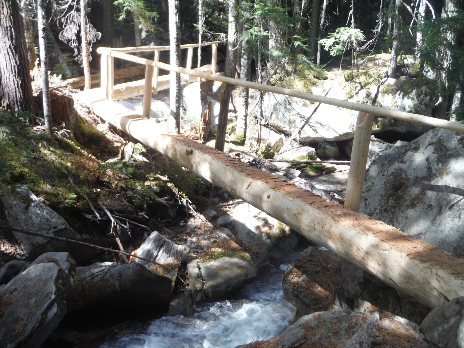
The Park Service is putting serious efforts into this trail this year.  There are several new log bridge crossings, which are terrific. In the past, a couple of the creeks have posed a bit of a challenge to cross, and one high log crossing last year didn't have a rail.  The engineering and care on these bridges is terrific, and its pretty cool to stand above the small waterfalls they span.  The trail from Cosho down also has had some serious clearing--not nearly as bushy as in the past. I ran into a crew who were out there working. Kind of strange hearing a chainsaw running 15 miles away from the nearest road, but I'm glad for their work.

Lots of moss, as you descend. Lots of green, green moss.

I also ran into Chris as he made his way up to Easy Pass. We stopped and chatted for a few minutes. My hat is off to you Chris--quite the effort.

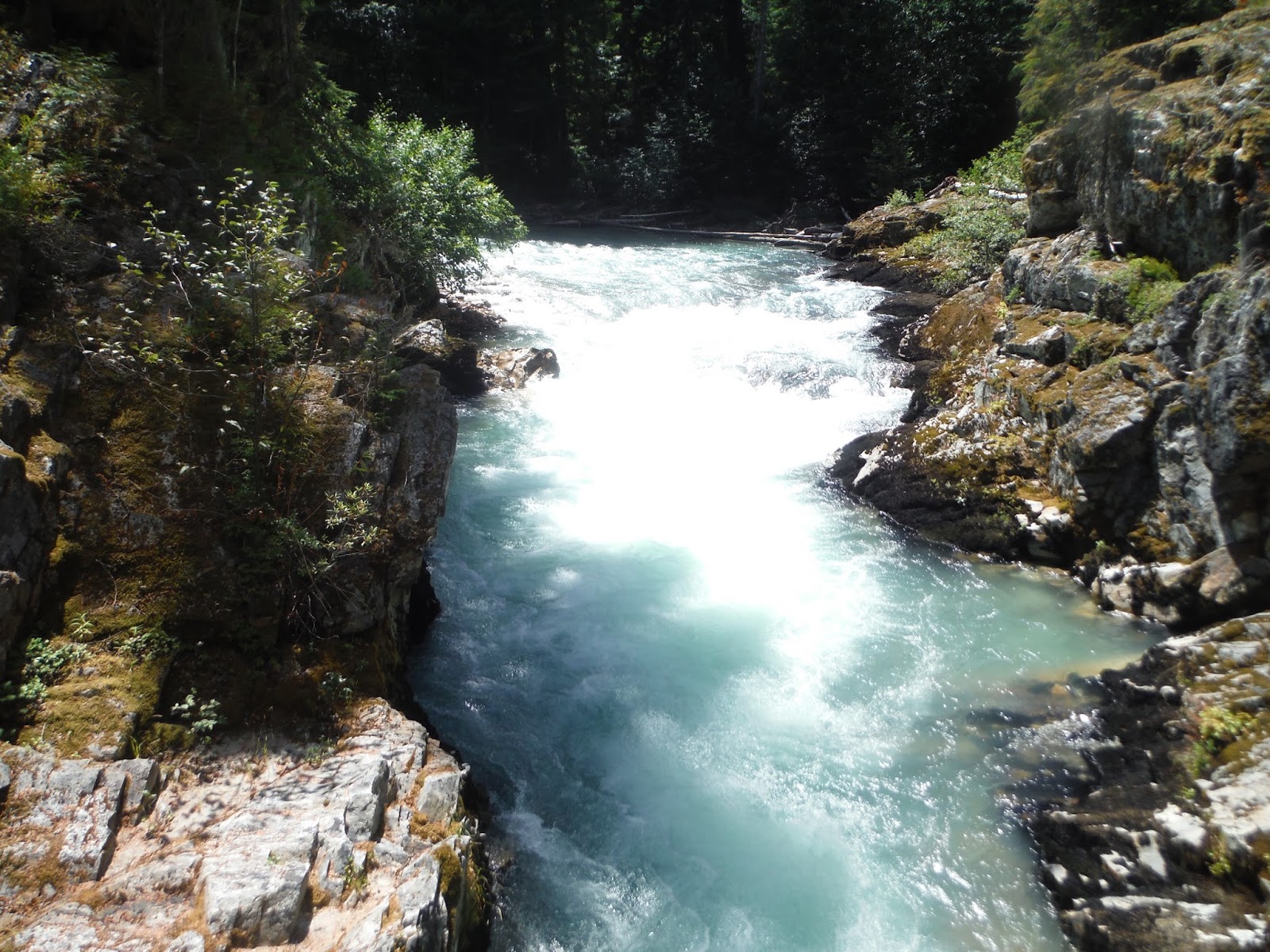
I was spent by the time I reached Junction. The sign at Junction says it is 9 miles to Diablo from there, but it sure feels like a long nine miles, and the National Park Service site says it is 10 miles. The Thunder Creek Basin trail is gorgeous, marked by big trees, the jade colored McCallister Creek, and occasional views of glaciers. I stopped at a couple creeks to cool off along the way, and soon enough I was strolling along the Thunder Creek trail, by ancient cedars, into Colonial Creek campground.

A spectacular day, with clear skies, warm to hot temps, clear trails, new friends, and plenty of adventure. Love the North Cascades.


Saturday, July 4, 2015

Chinook Pass Loop


I completed the Chinook Pass Loop, down by Mount Rainier National Park yesterday.  The route is approximately 32 miles, and starts and ends at Chinook Pass. You can go clockwise or counter-clockwise, though I'd recommend counter-clockwise, because the final 5 miles on the clockwise route are tough uphill miles.

The basic route begins from the Chinook Pass parking lot, where you want to head towards the pedestrian bridge, pictured below. The clockwise route launches off onto the Pacific Crest Trail through the William O. Douglas Wilderness. To make this a loop, you then turn off onto the Laughingwater Creek Trail, and then come back via the Eastside Trail.

I was inspired to do this by friends Kathy and Ras Jahson, as part of their UltraPedestrian Wilderness Challenge. Thank you! You two got me out there, testing my limits--as I really wasn't in shape for this--and now here I sit reflecting back fondly on the day. Thanks too to friend Seth for giving me pointers on the loop the day before, having already run it a week or two before. Good memories, all--thanks!

I like that this adventure was in the William O. Douglas Wilderness. William O. Douglas grew up in Yakima, attended Whitman, and later went on to serve on the U.S. Supreme Court for several decades in the middle 20th century. He also wrote about the outdoors, and was quite an interesting character. In one famous decision, he argued unsuccessfully that trees should have standing in court. I have heard him called "Gooseberry Douglas".

I drove down the night before, arriving at 11:30 PM, and napped in the car until about 3 AM. I took an hour-plus figuring out where the trailhead was, and then getting my stuff ready. I locked the car at 4:21 AM, with the full moon still riding the sky.  I wanted to start even earlier, because I knew it was going to be a 90 degree day, and I melt in the sun. A night hike on the PCT on a warm summer night sounded classic. I settled for a pre-dawn start, which was great.

The PCT section is in full wildflower bloom right now. The trail is lined with wild blue lupine and Indian paintbrush, and their are fields of these everywhere. It's world class beautiful. The trail is easy running, with views of various lakes and hillscapes.  Mount Rainier pops out magnificently in certain sections, and Mount Adams and Mount St. Helens were also clear in the distance. I had the whole PCT to myself--early morning solitude, I suppose.

The Laughingwater Creek section of the trail is delightful, if you're headed down. It's easy and fast running, with just roots to look out for.  There's probably a loss of 3000 feet on the way down. I didn't see a lot of the Laughingwater Creek, but the area is well-shaded, and includes several little lakes. I ran into Jon headed the counterclockwise direction, also pursuing the challenge. Well-met, we were both enjoying empty trails and world-class views.

The Eastside Trail portion begins at beautiful Silver Falls, and soon thereafter the Grove of the Patriarchs. I stopped at the Grove to check out the old growth cedars and Douglas firs. The Eastside Trail is quiet and does not seem well-traveled by tourists, except near the Grove. Crystal clear water runs atop well rounded river rock in Chinook Creek, which parallels the trail. I didn't see Chinook salmon in the creek, but they may be running now.

The 90 degree afternoon sun was tough for me. I wore long sleeves and a hat with flaps, and the Eastside Trail was shaded, but it still got through, sapping me each time I walked through an unshaded area. I'm not in the shape for a distance like this, too. So, I had to sit on and off, taking my time, and listening to my body. Some of the pitches on the last 3 mile section to Cayuse Pass are miner type trails, going straight up the slope. For a bit there, I was contemplating sleeping on the hill. Even after Cayuse, there's still more climbing to be done to get to Chinook Pass, though not quite as steep. Fair warning to those who choose clockwise.

It was a monumental struggle for me, but I finally made it, happily climbing that last stretch, and coming out to Tipsoo Lake, circled in lupine, with couples and families strolling, taking pictures.